Index of /haiti/old-png-images-documenting-mapping-effort
Name
Last modified
Size
Description
Parent Directory
-
README.txt
2010-01-16 14:15
269
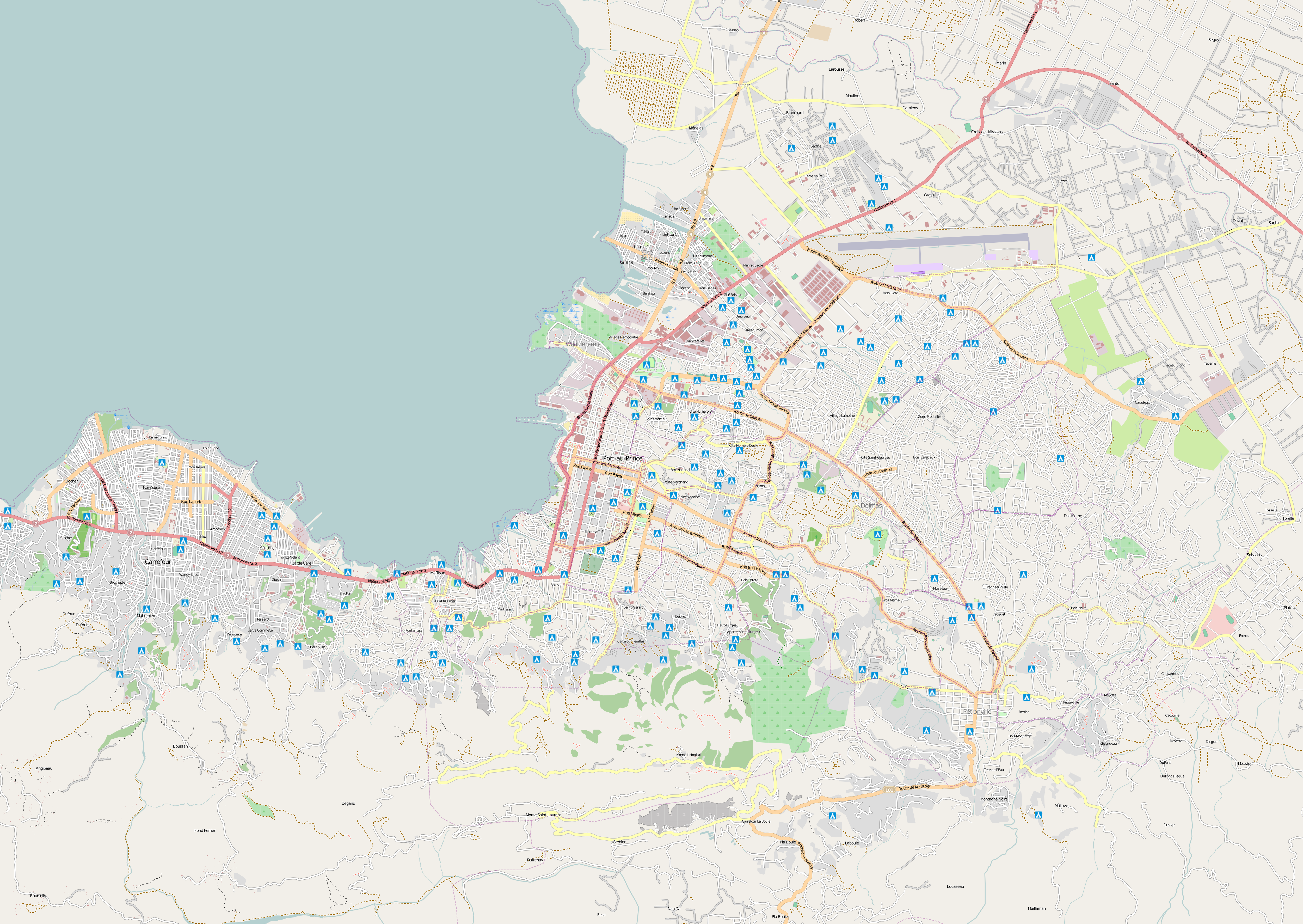
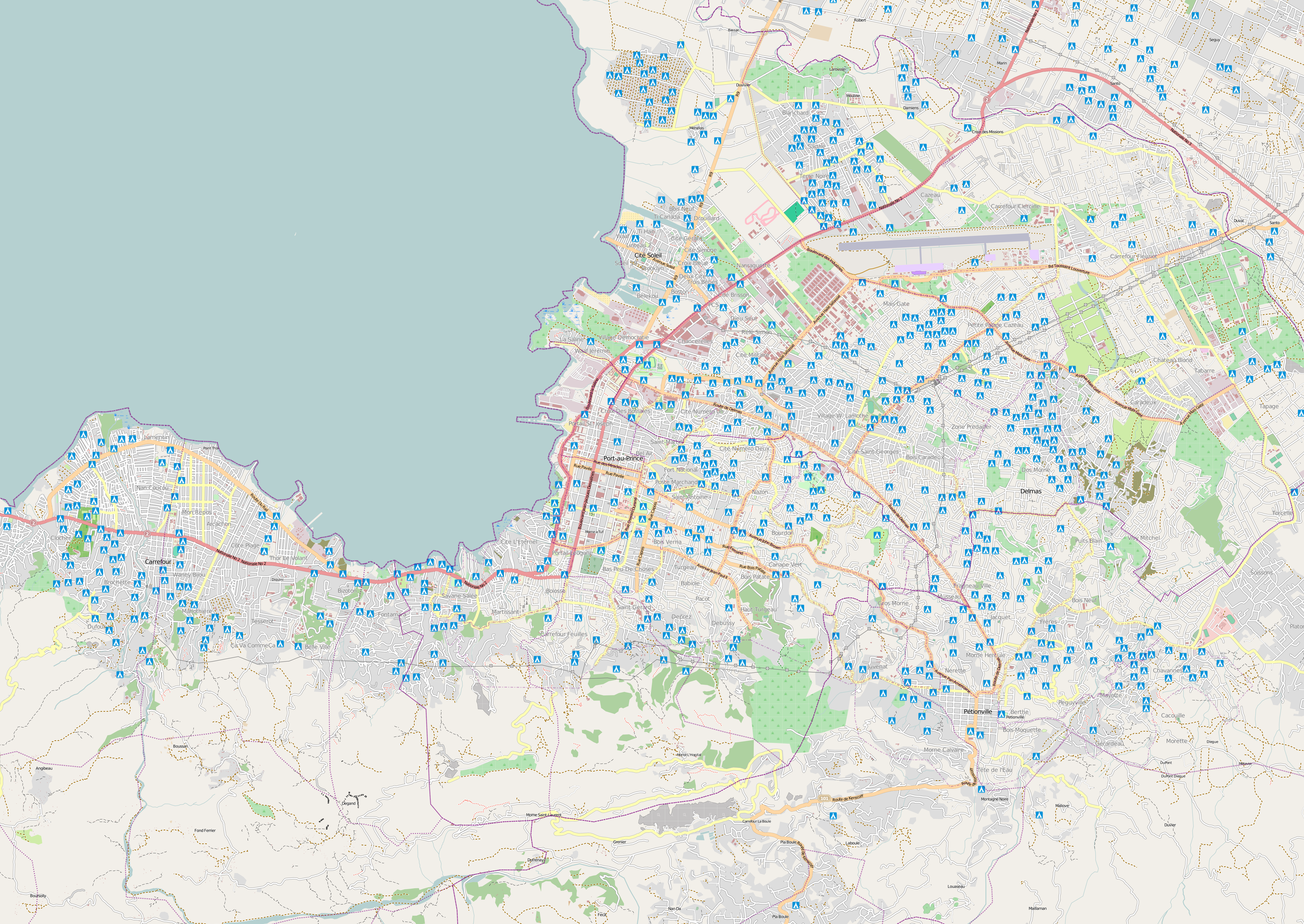
pap-hires-091230.png
2010-01-21 08:55
2.7M
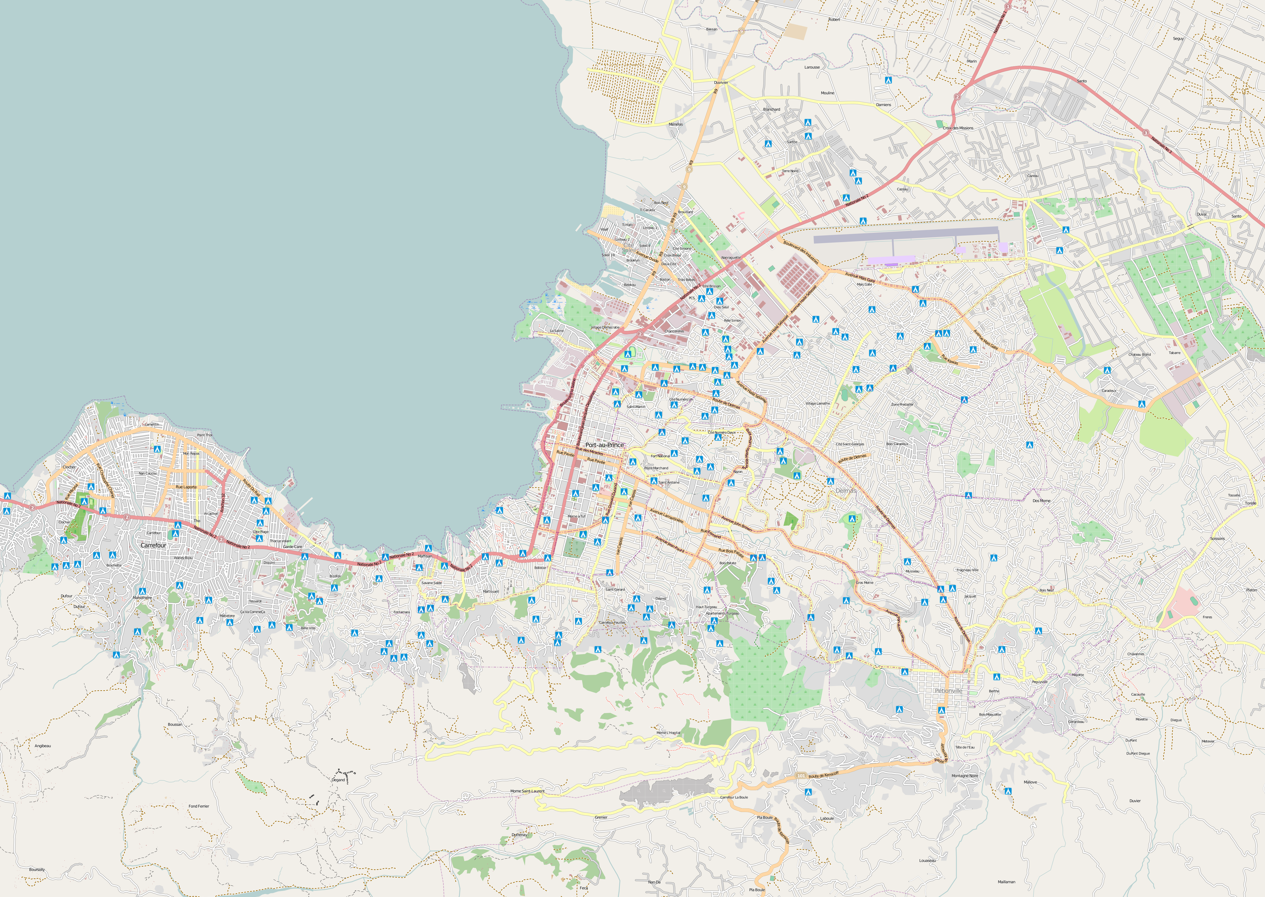
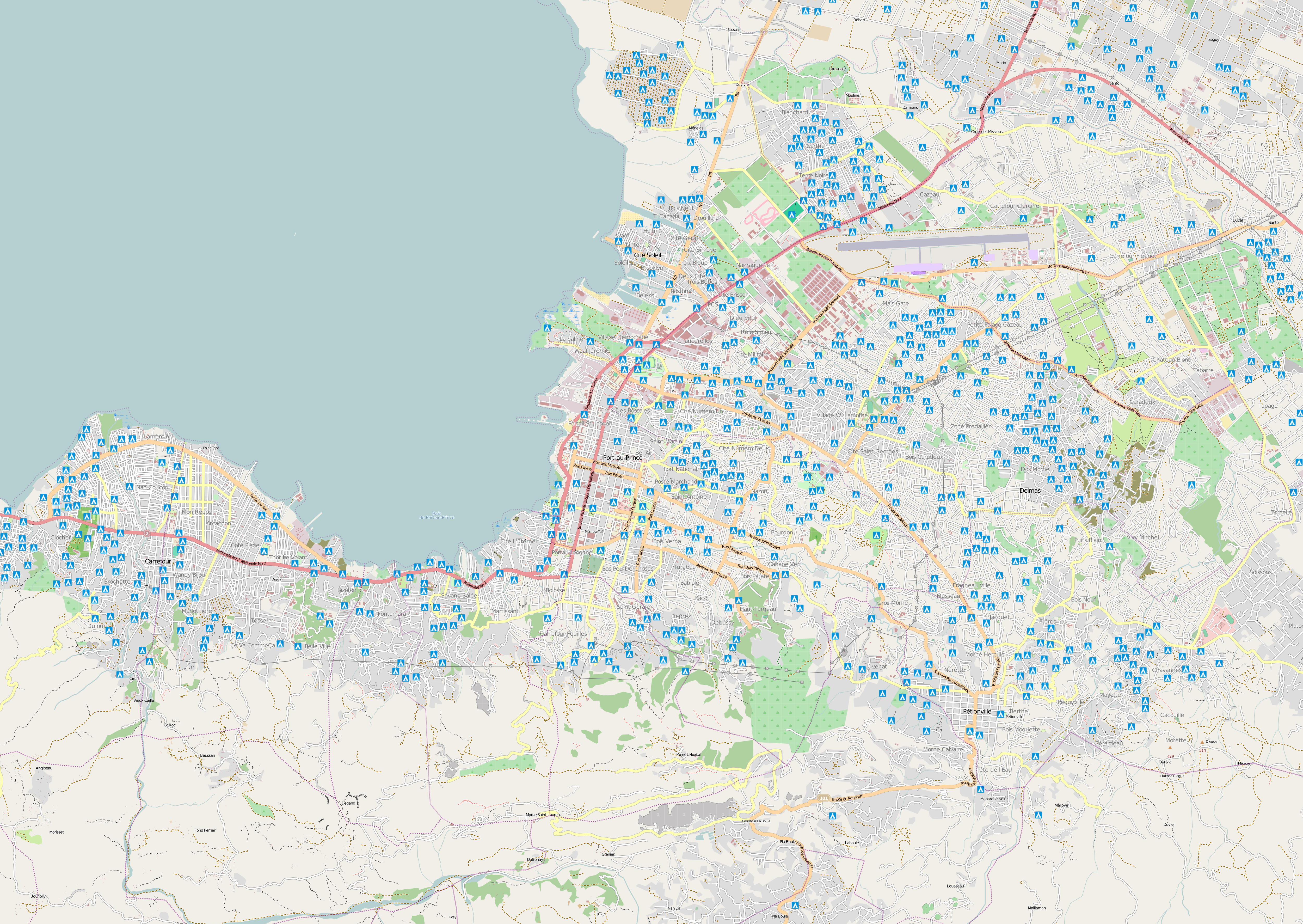
pap-hires-100103.png
2010-01-21 08:56
2.7M
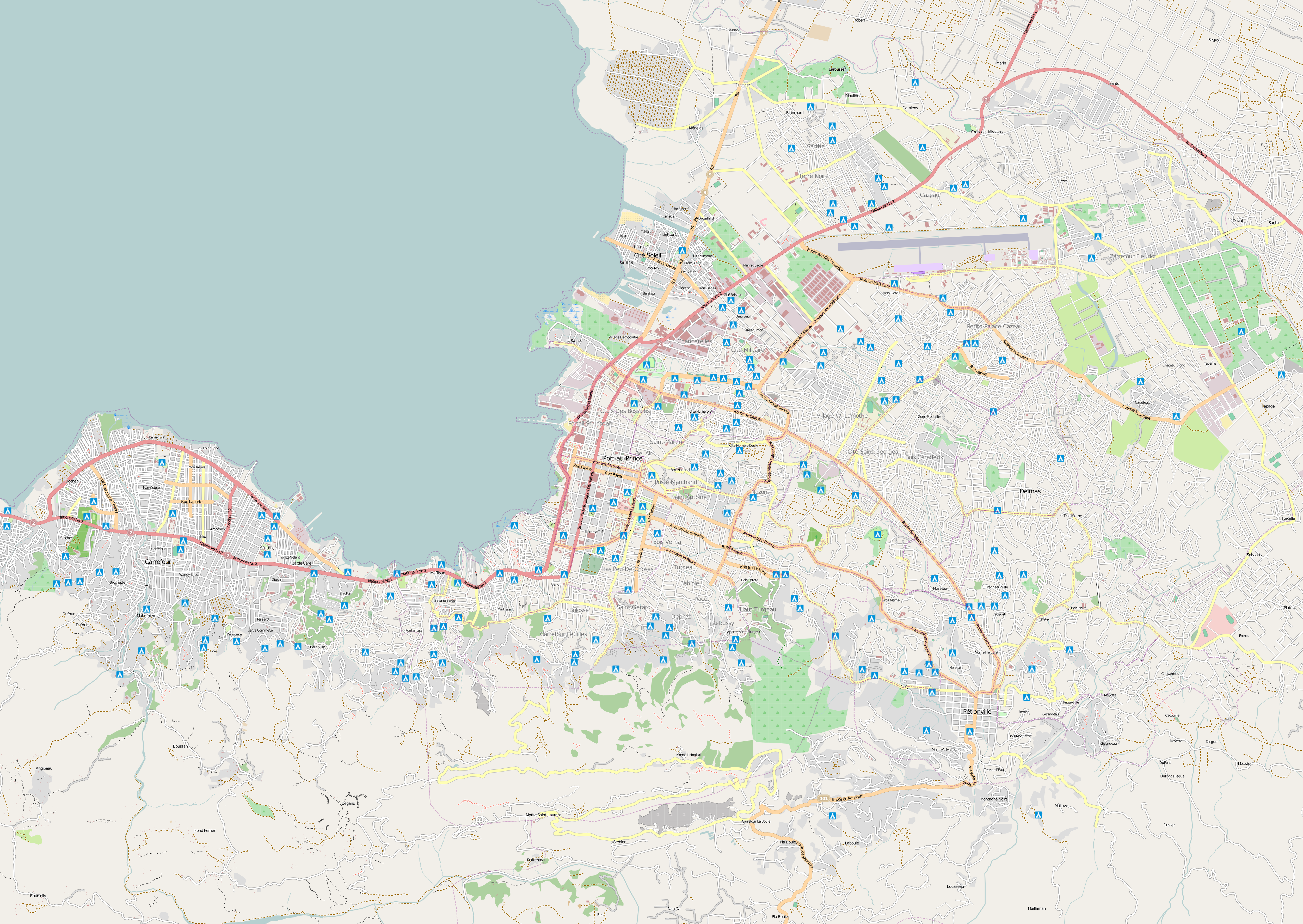
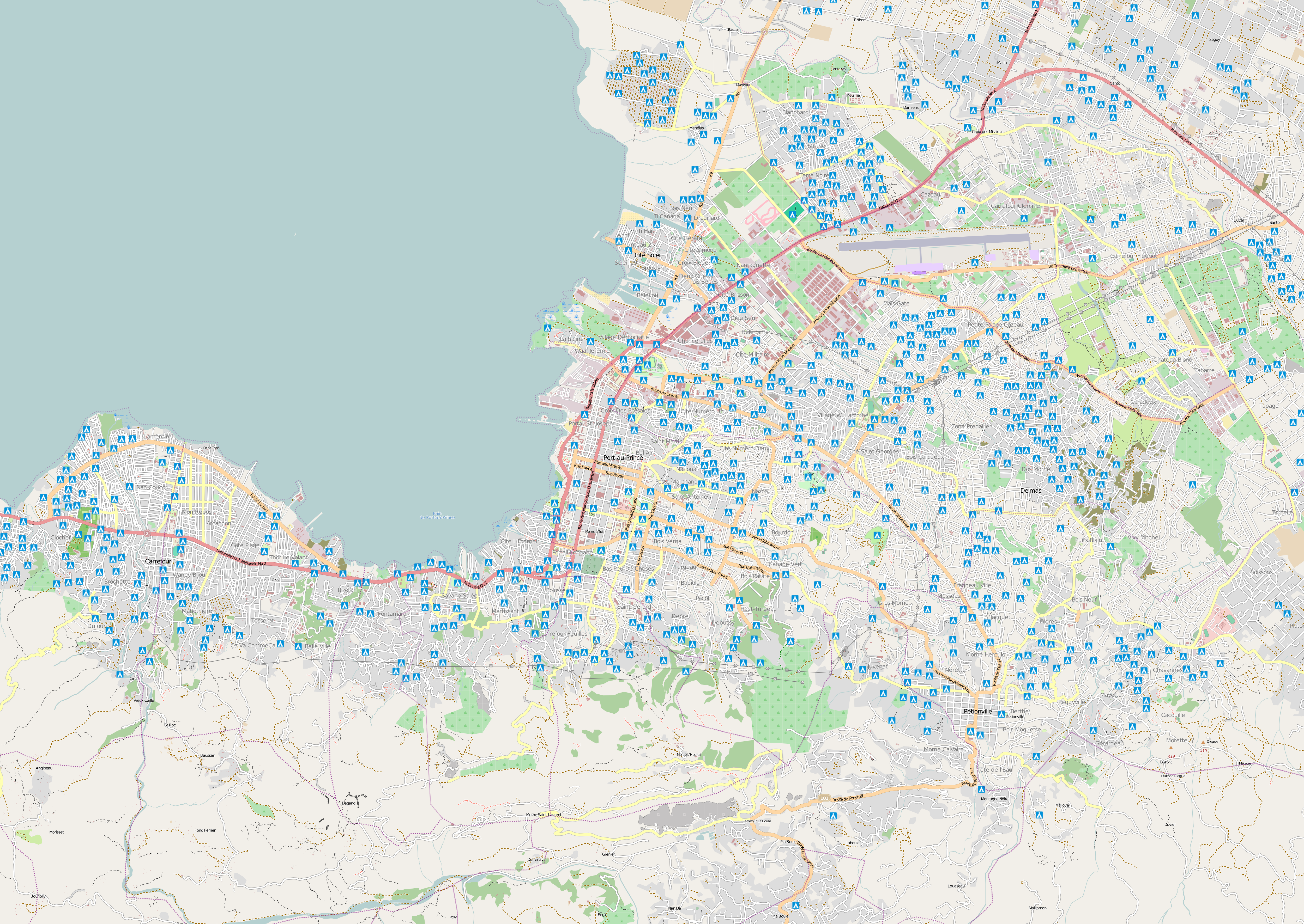
pap-hires-100105.png
2010-01-21 08:56
2.7M
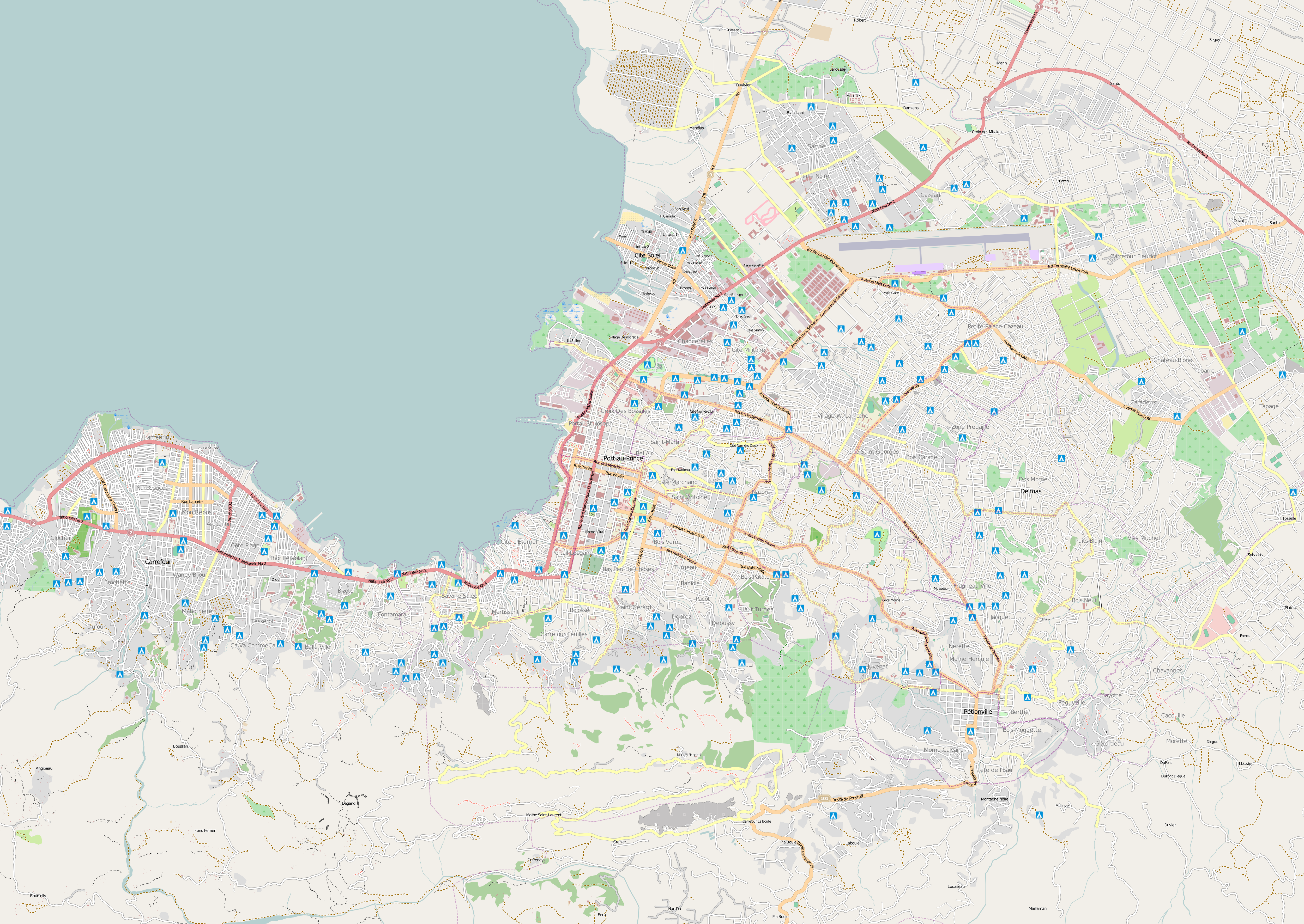
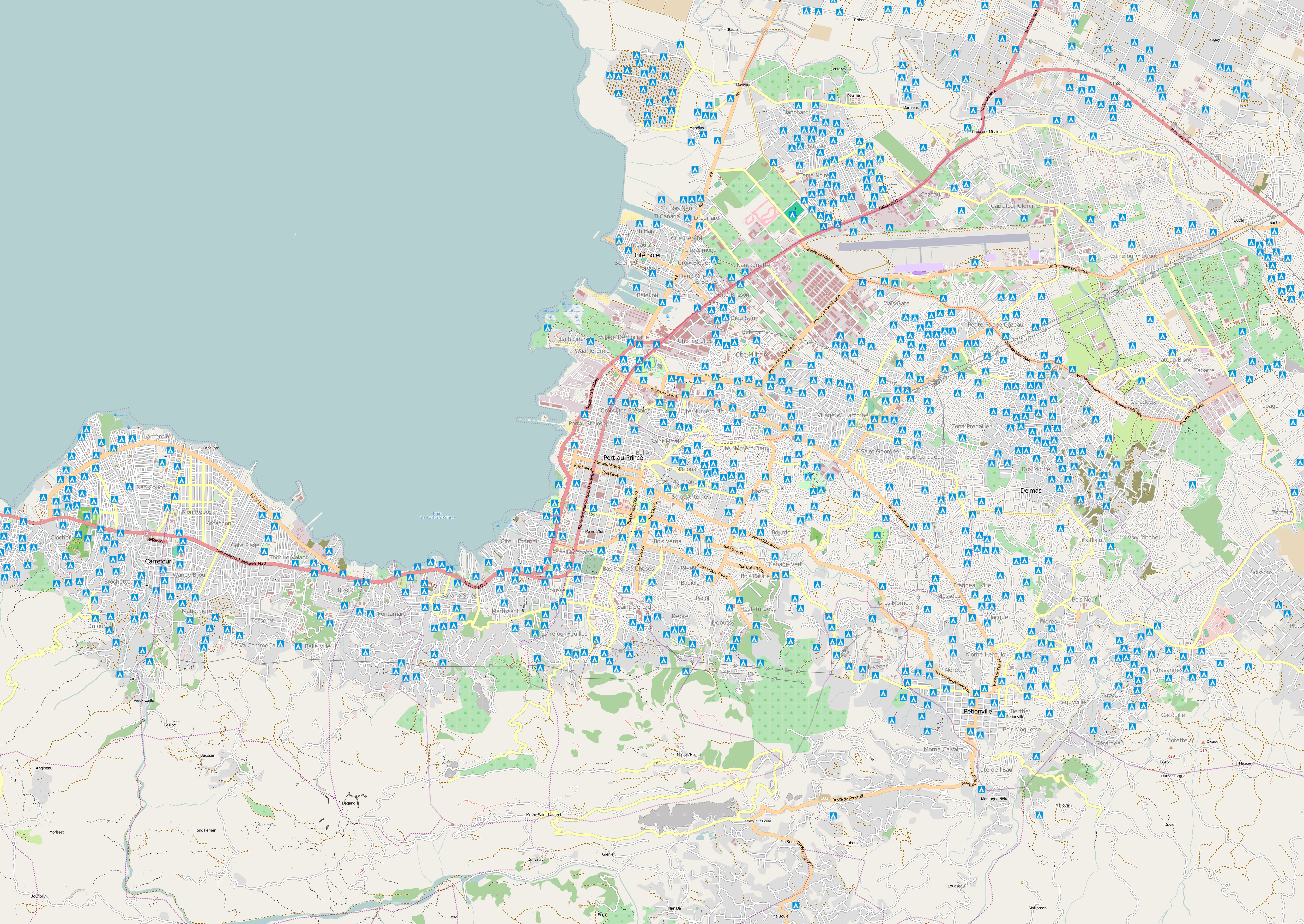
pap-hires-100106.png
2010-01-21 08:56
2.7M
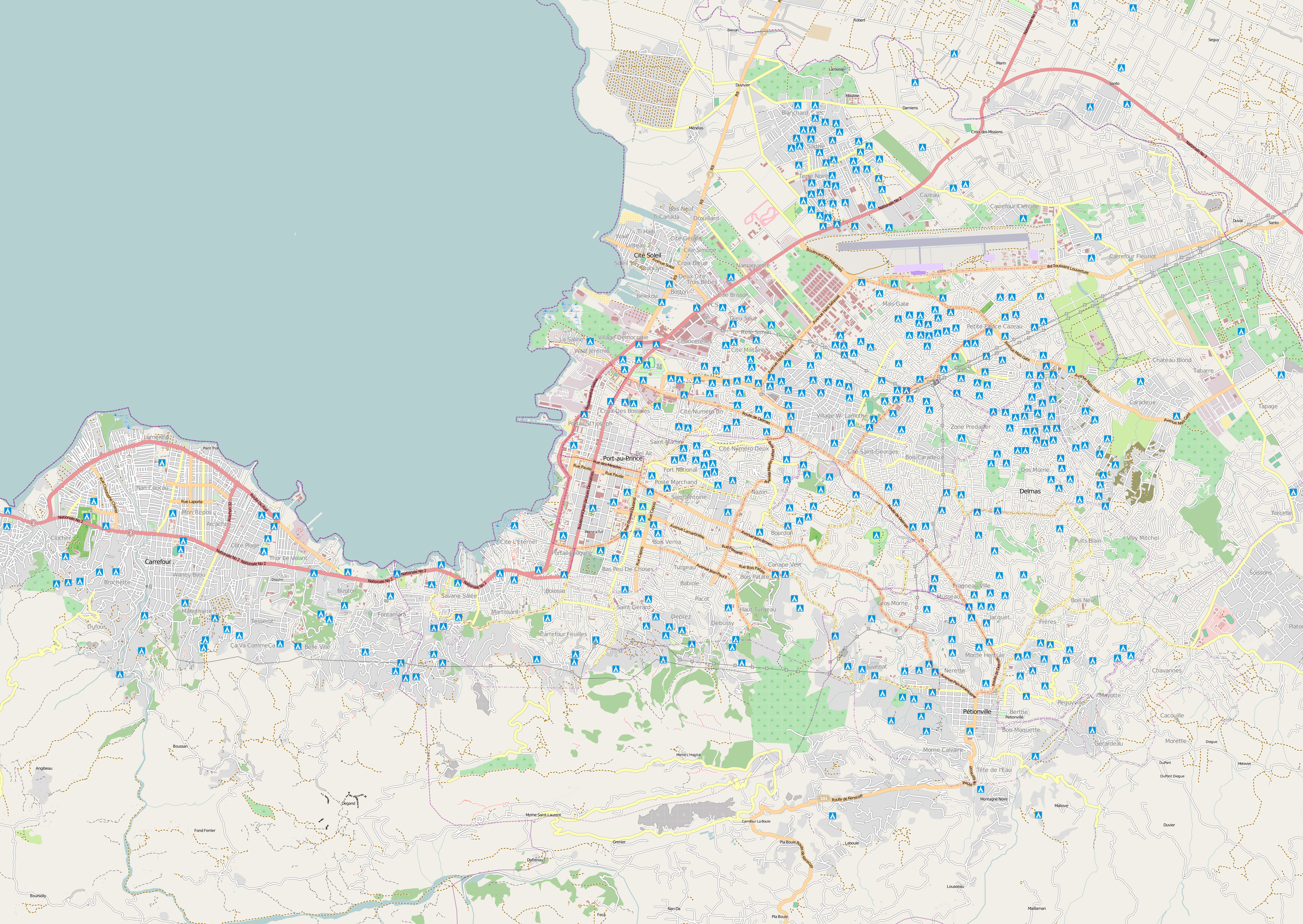
pap-hires-100113.png
2010-01-21 08:57
7.5M
pap-hires-100114.png
2010-01-21 08:57
9.9M
pap-hires-100115.png
2010-01-21 08:57
12M
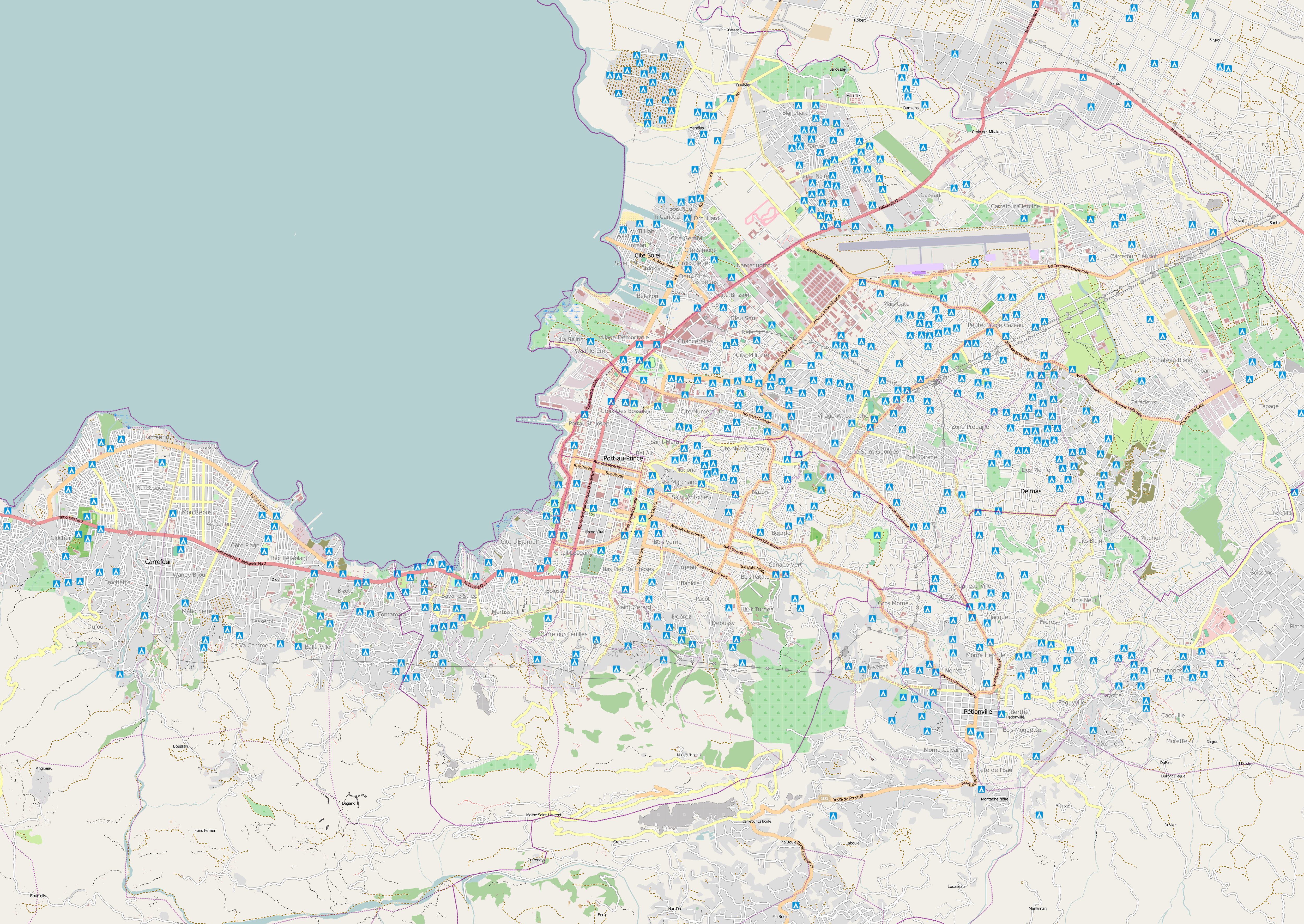
pap-hires-100116.png
2010-01-21 08:58
14M
pap-hires-100117.png
2010-01-21 08:59
16M
pap-hires-100118.png
2010-01-21 08:59
17M
pap-hires-100119.png
2010-01-21 08:51
18M
pap-hires-100120.png
2010-01-21 08:51
18M
pap-hires-100121.png
2010-01-26 09:27
19M
pap-hires-100122.png
2010-01-26 09:28
19M
pap-hires-100123.png
2010-02-01 01:05
20M
pap-hires-100124.png
2010-01-26 09:29
21M
pap-hires-100125.png
2010-01-26 09:30
21M
pap-hires-100126.png
2010-02-01 01:02
21M
pap-hires-100127.png
2010-02-01 01:03
21M
pap-hires-100128.png
2010-02-01 01:03
21M
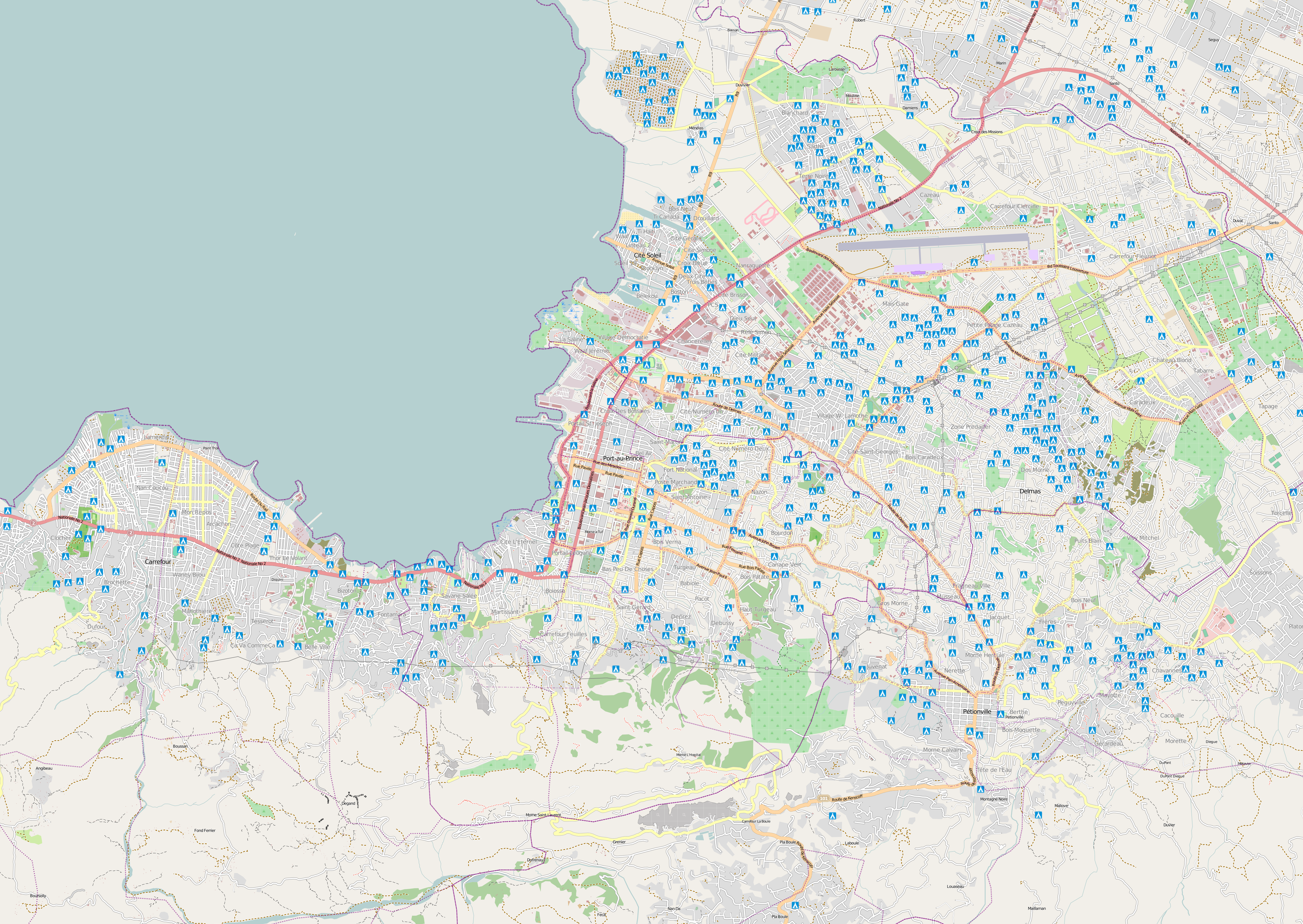
pap-hires-100129.png
2010-02-01 01:03
21M
pap-lowres-091230.png
2010-01-21 08:55
1.6M
pap-lowres-100103.png
2010-01-21 08:55
1.6M
pap-lowres-100105.png
2010-01-21 08:56
1.6M
pap-lowres-100106.png
2010-01-21 08:56
1.6M
pap-lowres-100113.png
2010-01-21 08:56
4.5M
pap-lowres-100114.png
2010-01-21 08:57
5.9M
pap-lowres-100115.png
2010-01-21 08:57
7.3M
pap-lowres-100116.png
2010-01-21 08:58
8.1M
pap-lowres-100117.png
2010-01-21 08:58
9.2M
pap-lowres-100118.png
2010-01-21 08:59
9.7M
pap-lowres-100119.png
2010-01-21 08:50
10M
pap-lowres-100120.png
2010-01-21 08:51
10M
pap-lowres-100121.png
2010-01-26 09:26
11M
pap-lowres-100122.png
2010-01-26 09:27
11M
pap-lowres-100123.png
2010-02-01 01:05
11M
pap-lowres-100124.png
2010-01-26 09:29
12M
pap-lowres-100125.png
2010-01-26 09:30
12M
pap-lowres-100126.png
2010-02-01 01:04
11M
pap-lowres-100127.png
2010-02-01 01:04
12M
pap-lowres-100128.png
2010-02-01 01:04
12M
pap-lowres-100129.png
2010-02-01 01:04
12M
port-au-prince-animation.gif
2010-01-26 16:33
3.4M
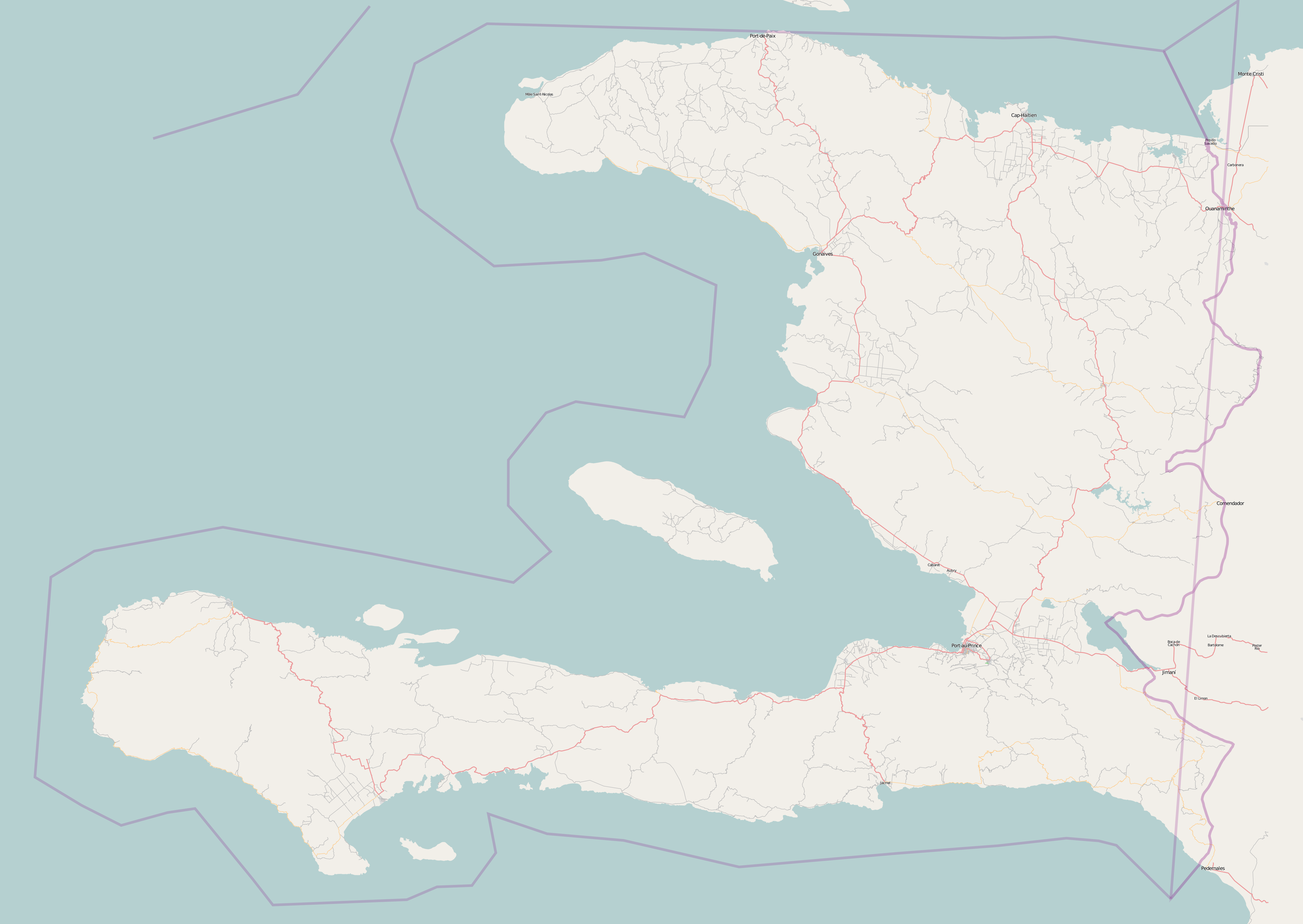
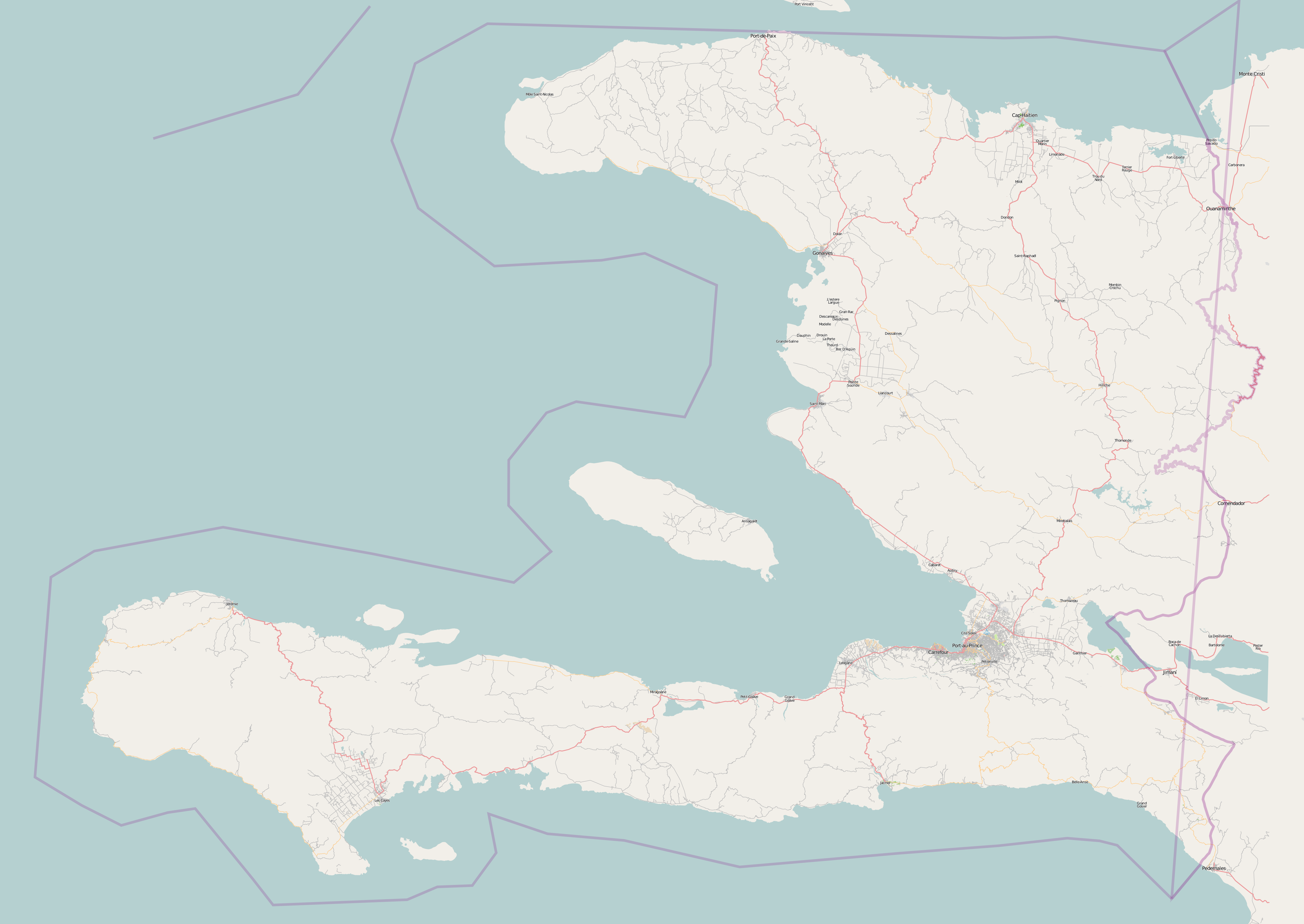
whole-haiti-091230.png
2010-01-21 08:55
1.8M
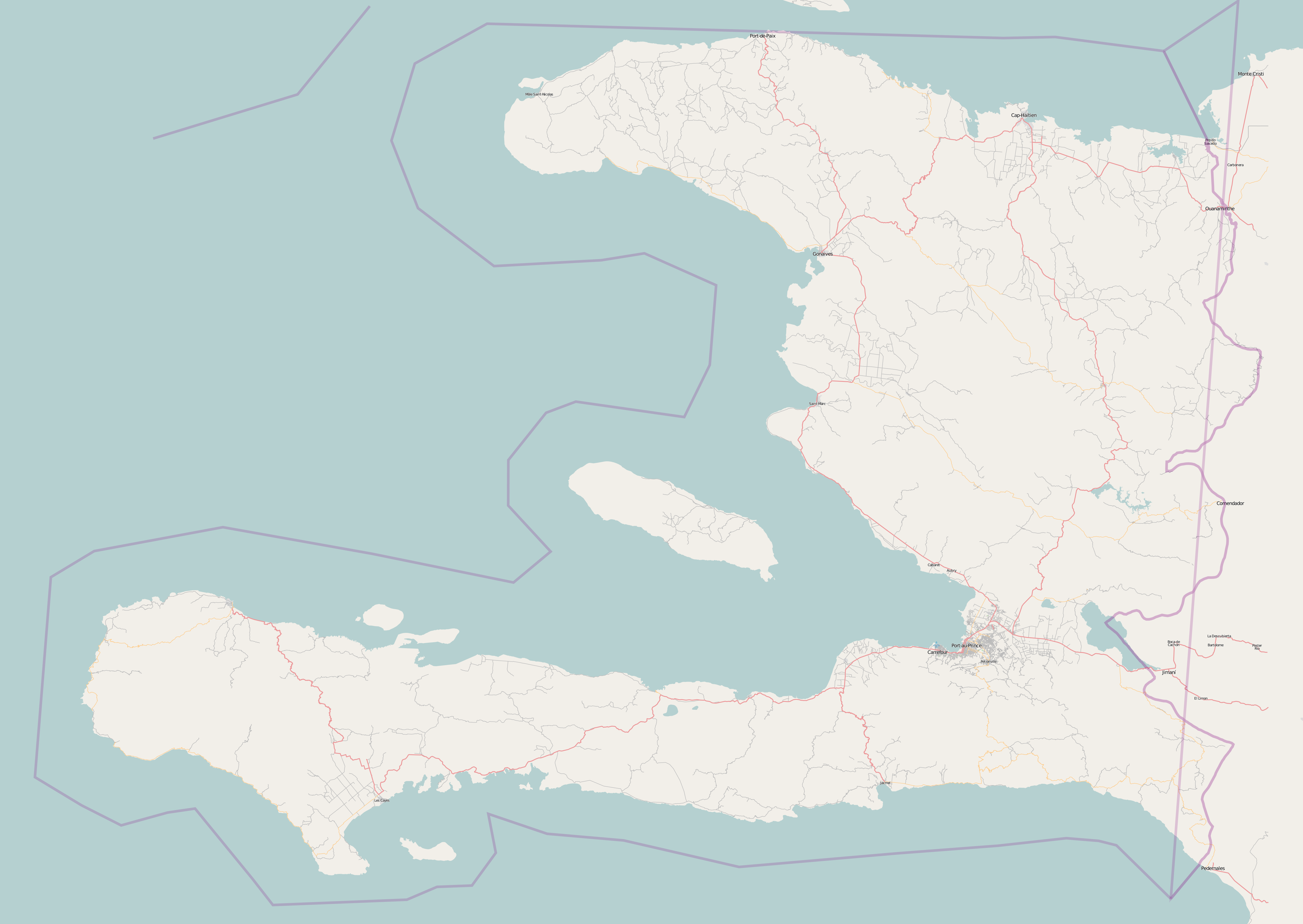
whole-haiti-100103.png
2010-01-21 08:56
1.8M
whole-haiti-100105.png
2010-01-21 08:56
1.8M
whole-haiti-100106.png
2010-01-21 08:56
1.8M
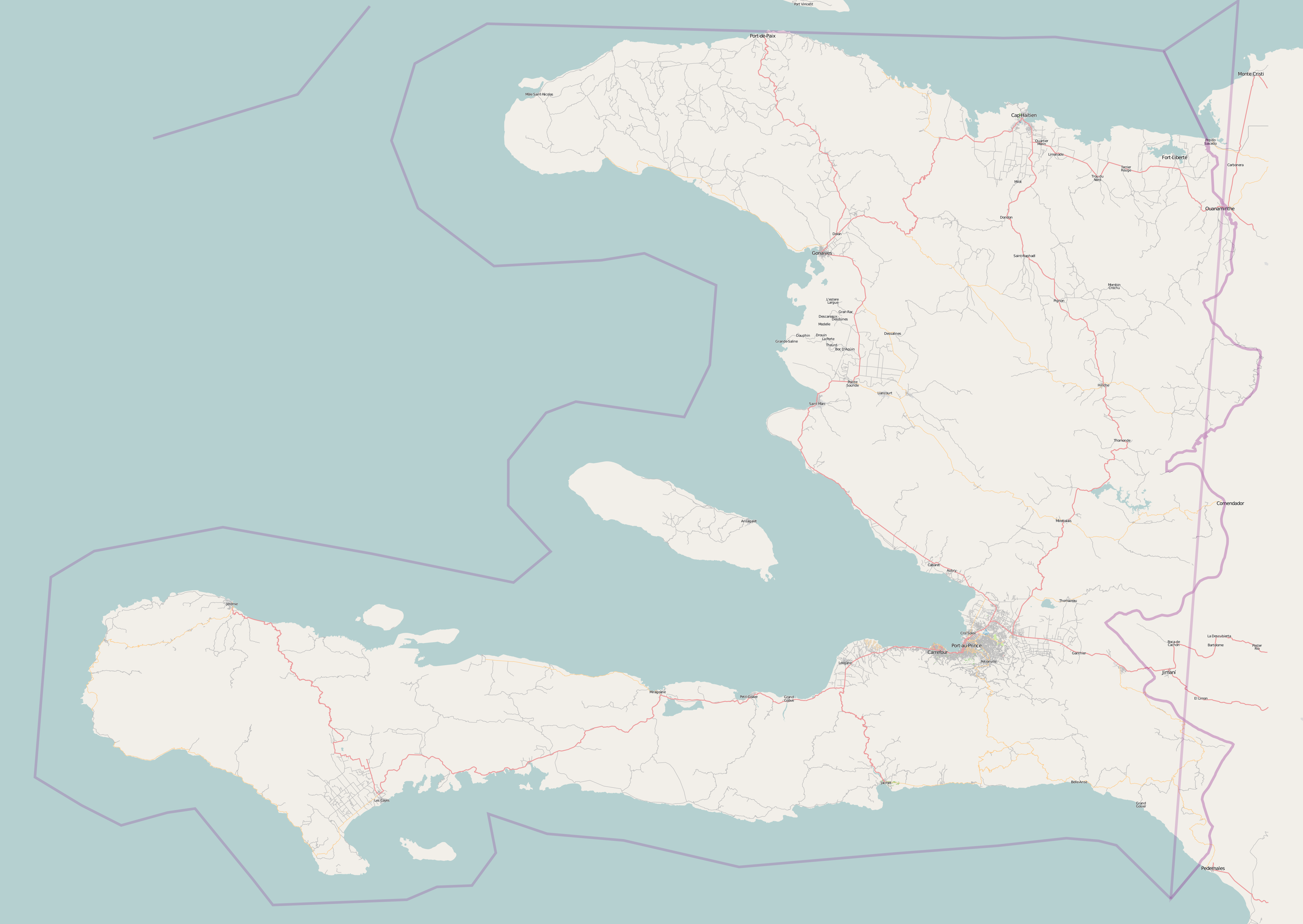
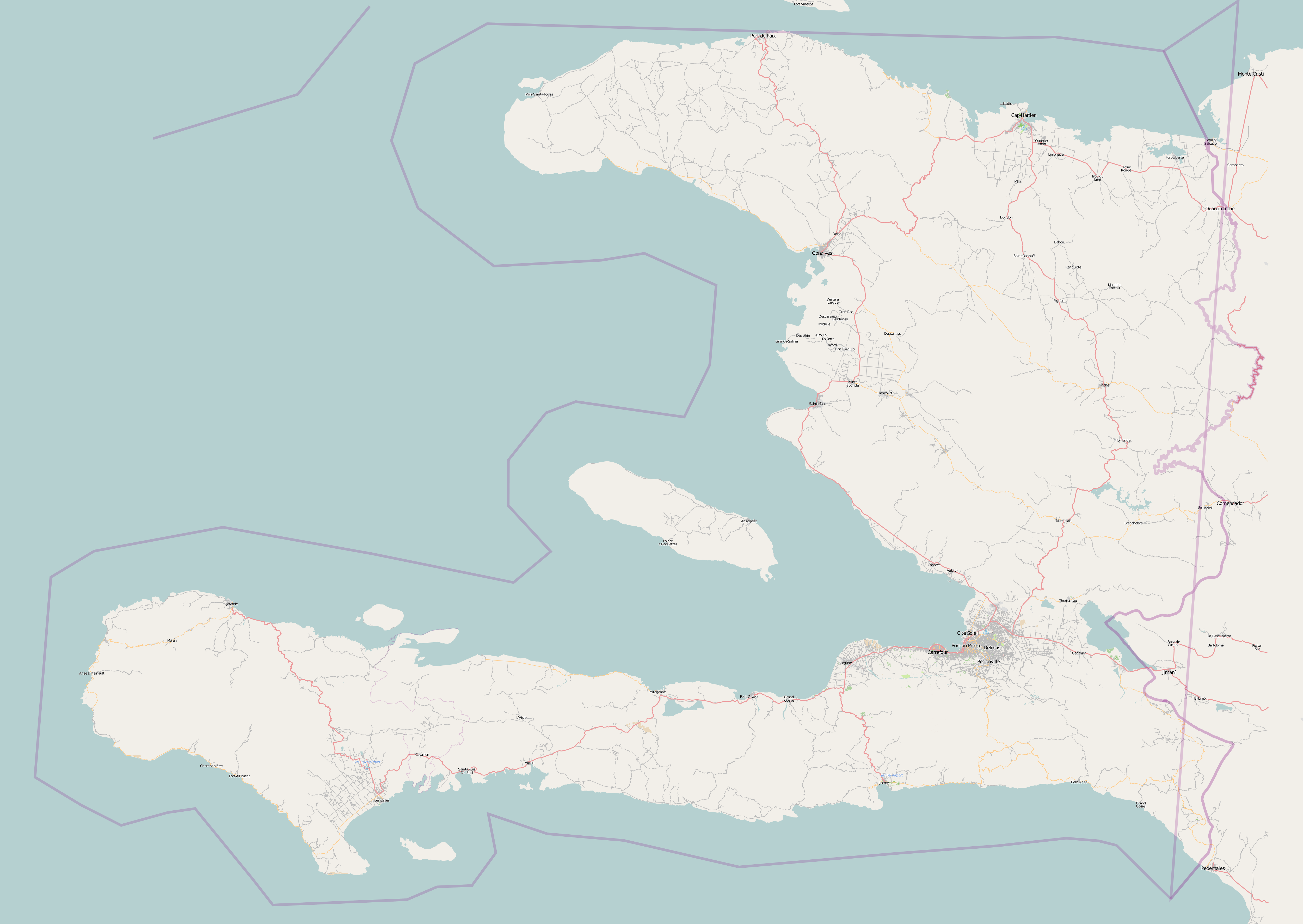
whole-haiti-100113.png
2010-01-21 08:57
1.8M
whole-haiti-100114.png
2010-01-21 08:57
1.9M
whole-haiti-100115.png
2010-01-21 08:58
1.9M
whole-haiti-100116.png
2010-01-21 08:58
2.0M
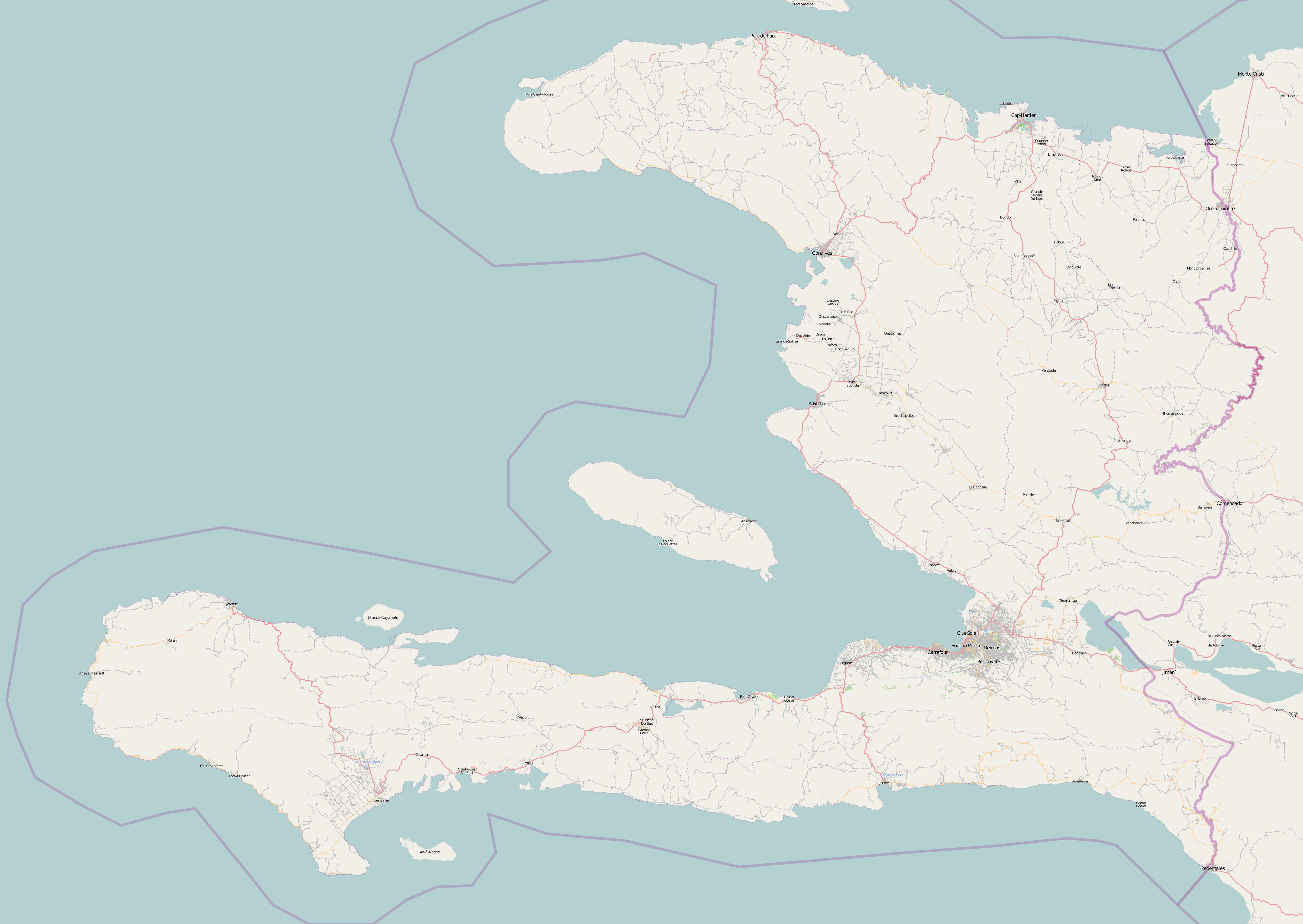
whole-haiti-100117.png
2010-01-21 08:59
2.1M
whole-haiti-100118.png
2010-01-21 09:00
2.2M
whole-haiti-100119.png
2010-01-21 08:51
2.2M
whole-haiti-100120.png
2010-01-21 08:51
2.3M
whole-haiti-100121.png
2010-01-26 09:27
2.3M
whole-haiti-100122.png
2010-01-26 09:28
2.6M
whole-haiti-100123.png
2010-02-01 01:05
2.7M
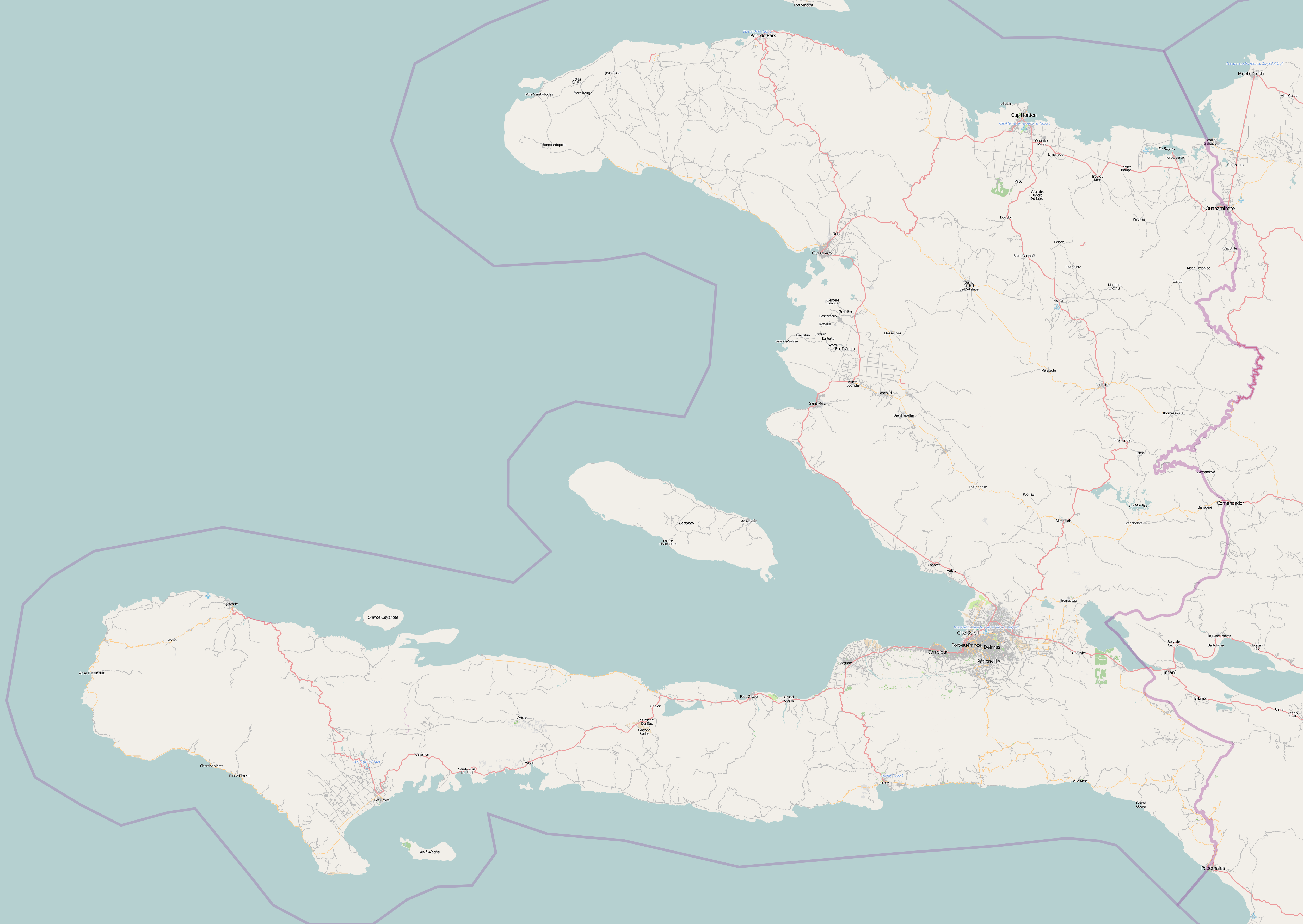
whole-haiti-100124.png
2010-01-26 09:30
2.8M
whole-haiti-100125.png
2010-01-26 09:30
2.8M
whole-haiti-100126.png
2010-02-01 01:04
2.6M
whole-haiti-100127.png
2010-02-01 01:04
2.6M
whole-haiti-100128.png
2010-02-01 01:04
2.6M
whole-haiti-100129.png
2010-02-01 01:04
2.6M